Instrument
The current position
:Home | Instrument
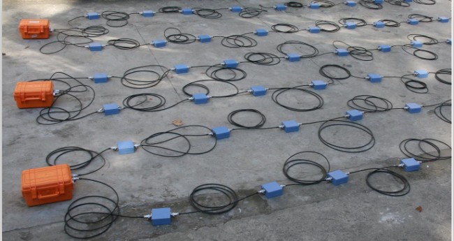
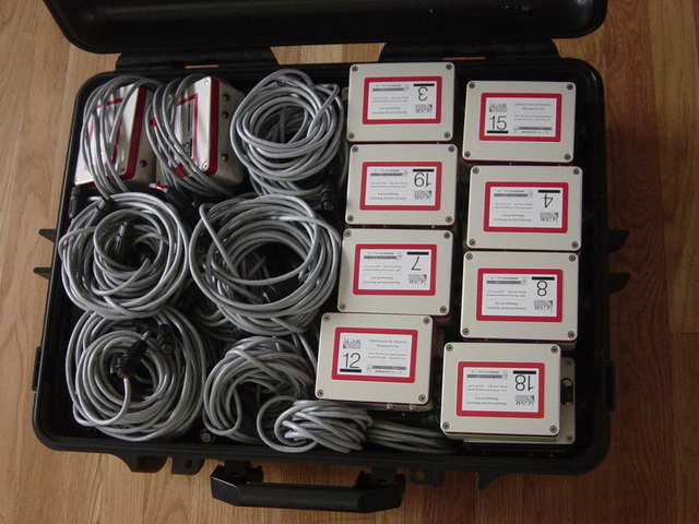
GSR-3 D is a 3 D underground imaging system, based on the 3D innovative imaging technology of the refraction, combining with advanced digitally sensing technology and the high-speed and real-time network technology. It offers a full set of data collections, analysis and 3 D imaging tool for civil engineering, road engineering, bridge engineering, tunnel project, mining engineering. GSR-3 D is the first to use the numerical methods of the engineering mechanics for processing geophysical signal, and that greatly improves the precision of the traditional geophysical methods and improves the signal processed efficiency.


